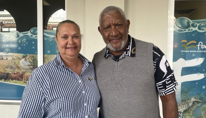


Resources library - Factsheets
Factsheets Resources
Koalas in CQ Factsheet
Koalas in CQ Factsheet
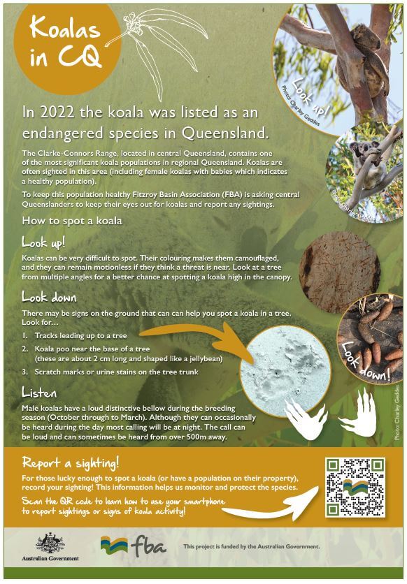
In 2022 the koala was listed as an endangered species in Queensland. The Clarke-Connors Range, located in central Queensland, contains one of the most significant koala populations in regional Queensland. Koalas are often sighted in this area (including female koalas with babies which indicates a healthy population). To keep this population healthy Fitzroy Basin Association (FBA) is asking central Queenslanders to keep their eyes out for koalas and report any sightings.
21/06/2023
Paddock to Reef Educational Flyer
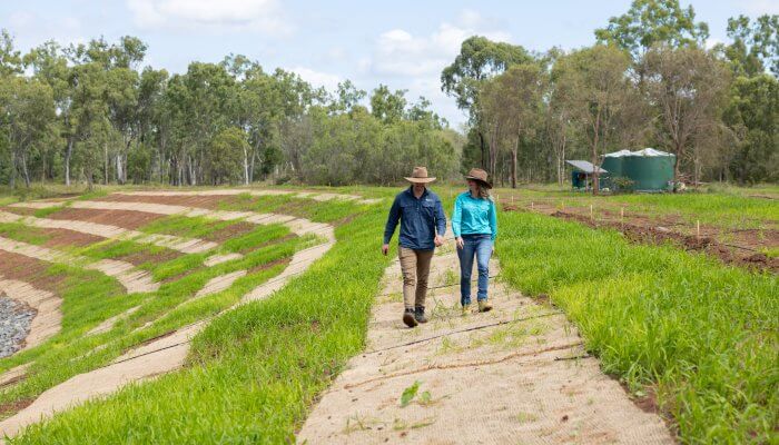
Property planning tips to prevent and reduce erosion
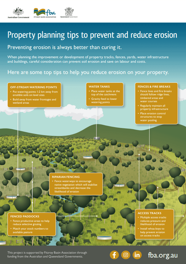
Preventing erosion is always better than curing it. When planning the improvement or development of property tracks, fences, yards, water infrastructure and buildings, careful consideration can prevent soil erosion and save on labour and costs. This flyer includes tips to help you reduce erosion on your property. To learn more, contact our technical experts.
30/06/2021
The benefits of canopy cover in grazing enterprises
Trees - the root of productivity
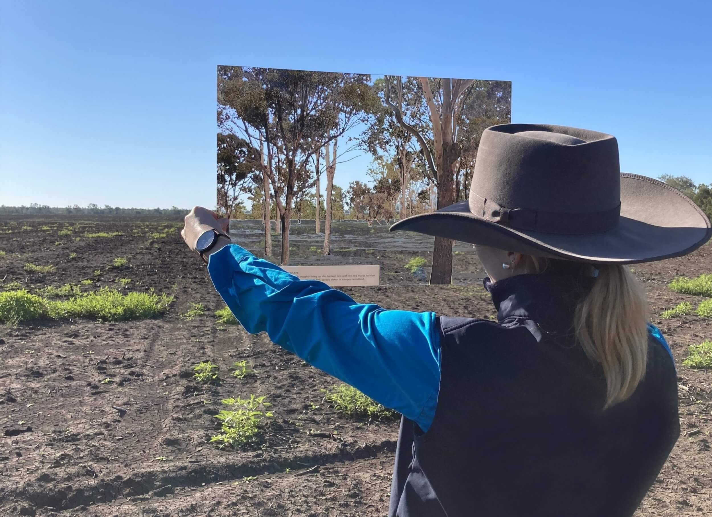
Native trees in grazing paddocks are providing central Queensland landholders with a variety of benefits. Keeping a 30% to 40% canopy cover on grazing land is helping local graziers improve their productivity and land condition. This flyer illustrates a few of the many benefits that native trees provide.
15/06/2020
Fitzroy Region – Understand Your Flood Risk
Fitzroy Regional Resilience Strategy
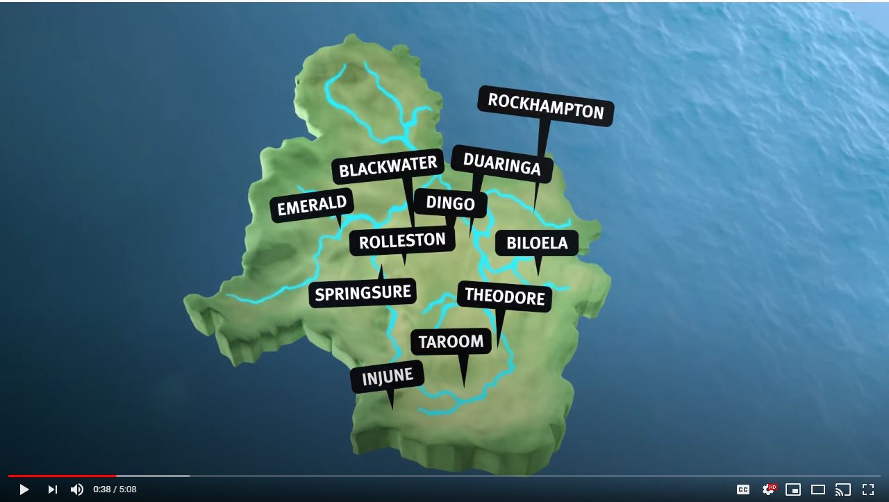
Learn about the Fitzroy Basin in Central Queensland and understand your flood risk. The Fitzroy Basin includes eleven catchments, with their creeks and rivers flowing into the Fitzroy River and its estuaries eventually flowing out to the Great Barrier Reef. The Queensland Government has partnered with six councils to deliver the Fitzroy Regional Resilience Strategy, which uses a collaborative catchment approach for best practice management of flood warning infrastructure. The purpose of the Strategy is to provide a consistent and coordinated approach to manage flood warning infrastructure throughout the region that will enhance community safety and resilience. The Strategy has been developed in consultation with Central Queensland Regional Organisation of Councils (CQROC); Banana Shire Council; Central Highlands Regional Council; Isaac Regional Council; Livingstone Shire Council; Rockhampton Regional Council; Woorabinda Aboriginal Shire Council; with input from supporting stakeholder agencies including the Bureau of Meteorology, Fitzroy Basin Association and SunWater.
29/04/2020
FBA’s Tilapia A4 factsheet
Tilapia A4 factsheet
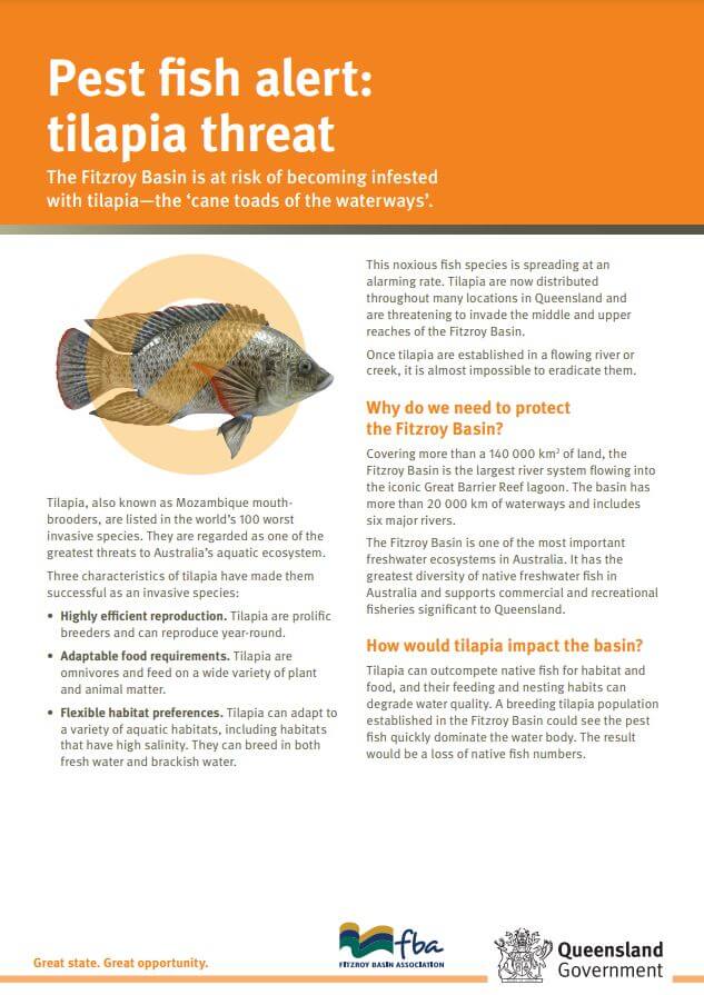
Factsheet on Tilapia (aka Mozambique mouthbrooders) including how to identify them and prevent their spread.
15/07/2019
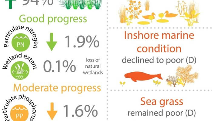
Fitzroy Water Quality Improvement Plan – Agriculture
Fitzroy Water Quality Improvement Plan - Agriculture
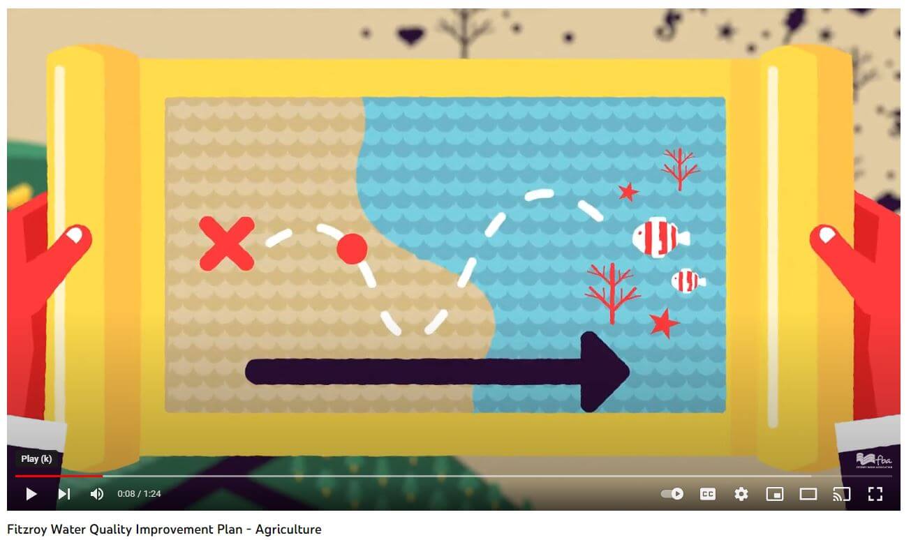
The Fitzroy Water Quality Improvement Plan (WQIP:2015) has been developed to improve water quality in the Fitzroy Basin Region to protect the Great Barrier Reef. WQIP:2015 will cover the Fitzroy Basin and coastal catchments (Styx, Shoalwater, Waterpark Creek, Boyne and Calliope) as well as adjacent marine waters. The plan sets water quality targets for the region, identifies priority areas to undertake works and recommends management actions to improve water quality. It will guide investments in our region to improve water quality and help restore the health of the Reef. The Department of Agriculture and Forestry lead a team of scientists to undertake a mixed methods approach to determine the priority areas in the catchment that sediment could be reduced in the most cost effective way. This was undertaken across the grazing and farming industry for all 192 neighbourhood catchments in the Fitzroy Region, including coastal catchments. WQIP:2015 has been developed by Fitzroy Basin Association Inc. through funding from the Australian Government's Reef Programme.
01/02/2016
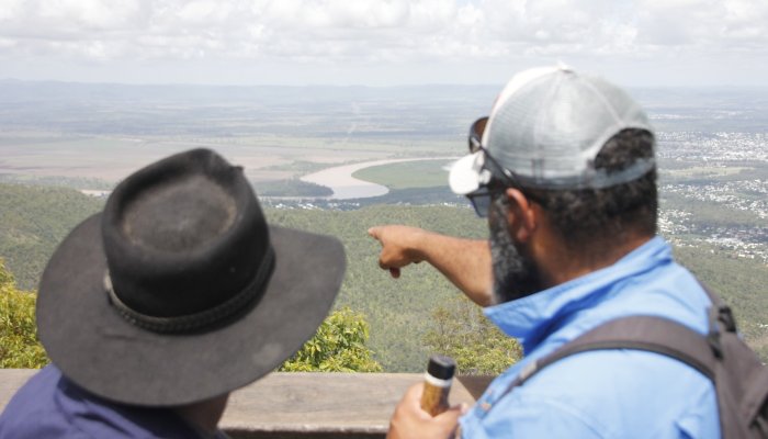
The Fitzroy Basin: Heart of Queensland
The Fitzroy Basin: Heart of Queensland

The Fitzroy Basin is the second largest river system draining to Australia's east coast. It is a large and diverse area with beautiful landscapes, productive agricultural land, and unique plants and animals. The basin includes more than 20,000km of waterways that drain the iconic Great Barrier Reef. Grazing is a major land use, and the city of Rockhampton is known as Australia's beef capital.
16/02/2012
Natural Grasslands Fact Sheet
FBA Natural grasslands fact sheet
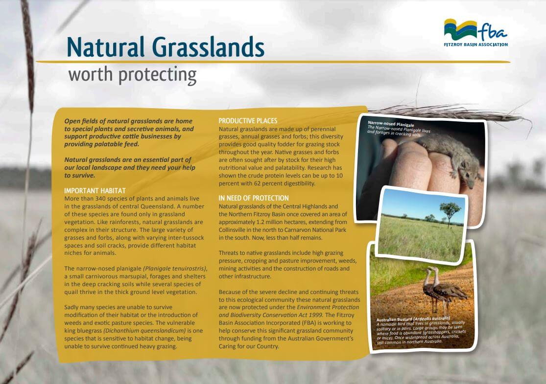
Open fields of natural grasslands are home to special plants and secretive animals, and support productive cattle businesses by providing palatable feed. Natural grasslands are an essential part of our local landscape and they need your help to survive. This guide is full of tips to help central Queensland landholders manage their natural grasslands.
Fire in the Australian Landscape
The history of fire in the Australian landscape
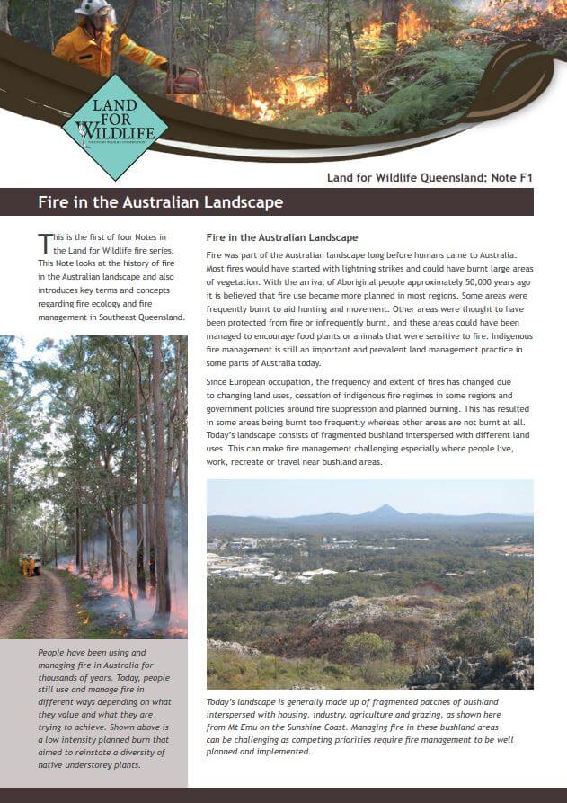
This is the first of four Notes in the Land for Wildlife fire series. This Note looks at the history of fire in the Australian landscape and also introduces key terms and concepts regarding fire ecology and fire management in Southeast Queensland.
Fire in the Australian Landscape
The complex topic of fire and wildlife
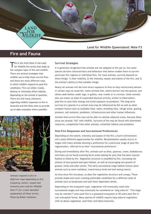
This is the third Note in the Land for Wildlife fire series that looks at the complex topic of fire and wildlife. There are several strategies that wildlife use to help them survive fires and there are many different ways in which wildlife respond to post-fire conditions. Fire can either create, destroy or minimally affect habitat, depending on the animal in question. There are still many unknowns regarding wildlife responses to fire in Australia and this Note aims to provide up-to-date examples where possible.
Fire in the Australian Landscape
The practicalities involved in planning for fire and reducing the risk of bushfire on your property
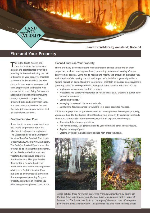
This is the fourth Note in the Land for Wildlife fire series that looks at the practicalities involved in planning for fire and reducing the risk of bushfire on your property. This Note is relevant for both landholders who choose to burn vegetation on parts of their property and landholders who choose not to burn. Being fire aware is applicable to all land types including farms, conservation properties, lifestyle blocks and government land. It is best to be prepared for fire and this Note introduces some actions that all landholders can take.