Healthy waterways play a big role in keeping properties productive and landscapes in good shape. Across central Queensland, FBA works alongside land managers to stabilise streambanks and gullies and get water moving the way it should, using practical fit-for-purpose solutions.
Supported by the Landscape Repair Program (LRP), this work helps reduce sediment loss, improve groundcover and support long-term productivity across properties and catchments.
Follow along as we share regular updates from the field, showcasing how this work comes to life and the real difference they’re making on the ground.
Planning Erosion Repair Works Along the Fitzroy River
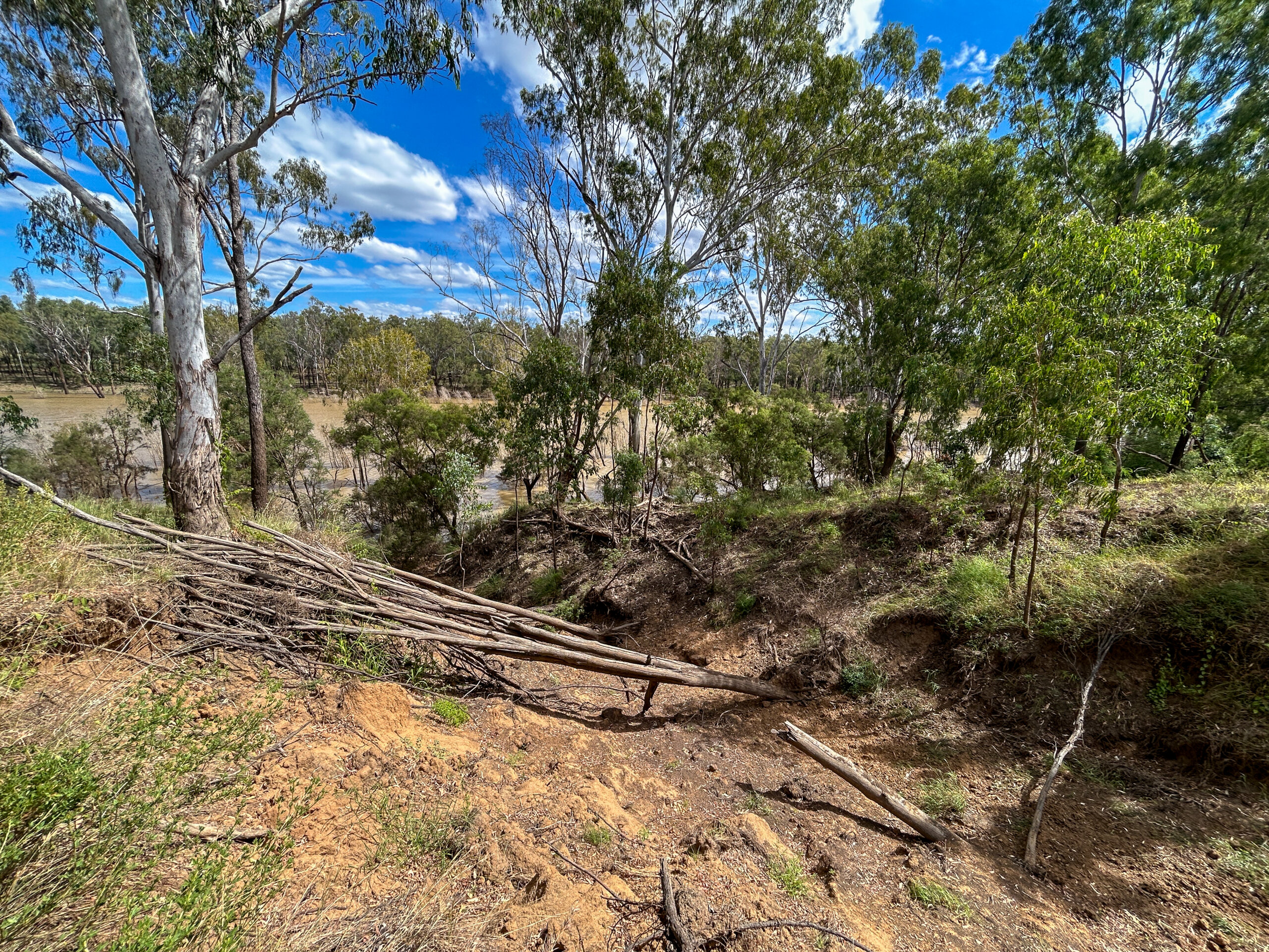
Erosion occurring along the Fitzroy River.
FBA’s Waterways Team completed a site assessment and rehabilitation plan for a property near Gogango where erosion has occurred along the Fitzroy River, including active gully heads and bank slumping. The assessment identified priority treatment areas and recommended erosion control measures to help stabilise the site.
The proposed works include earthworks, rock armouring, revegetation, and improved water management to reduce erosion risk, improve land condition, and reduce sediment loss, supporting the objectives of the Landscape Repair Program.
The project has now progressed to the planning phase, with designs and material requirements currently being developed to support future on-ground works. Next steps include finalising implementation plans, stabilising active gully heads, constructing diversion banks and level sill outlets, revegetation, and installation of temporary fencing to support vegetation establishment. Ongoing monitoring will track site recovery and measure erosion reduction over time.
Sharing Knowledge at the Landscape Repair Forum
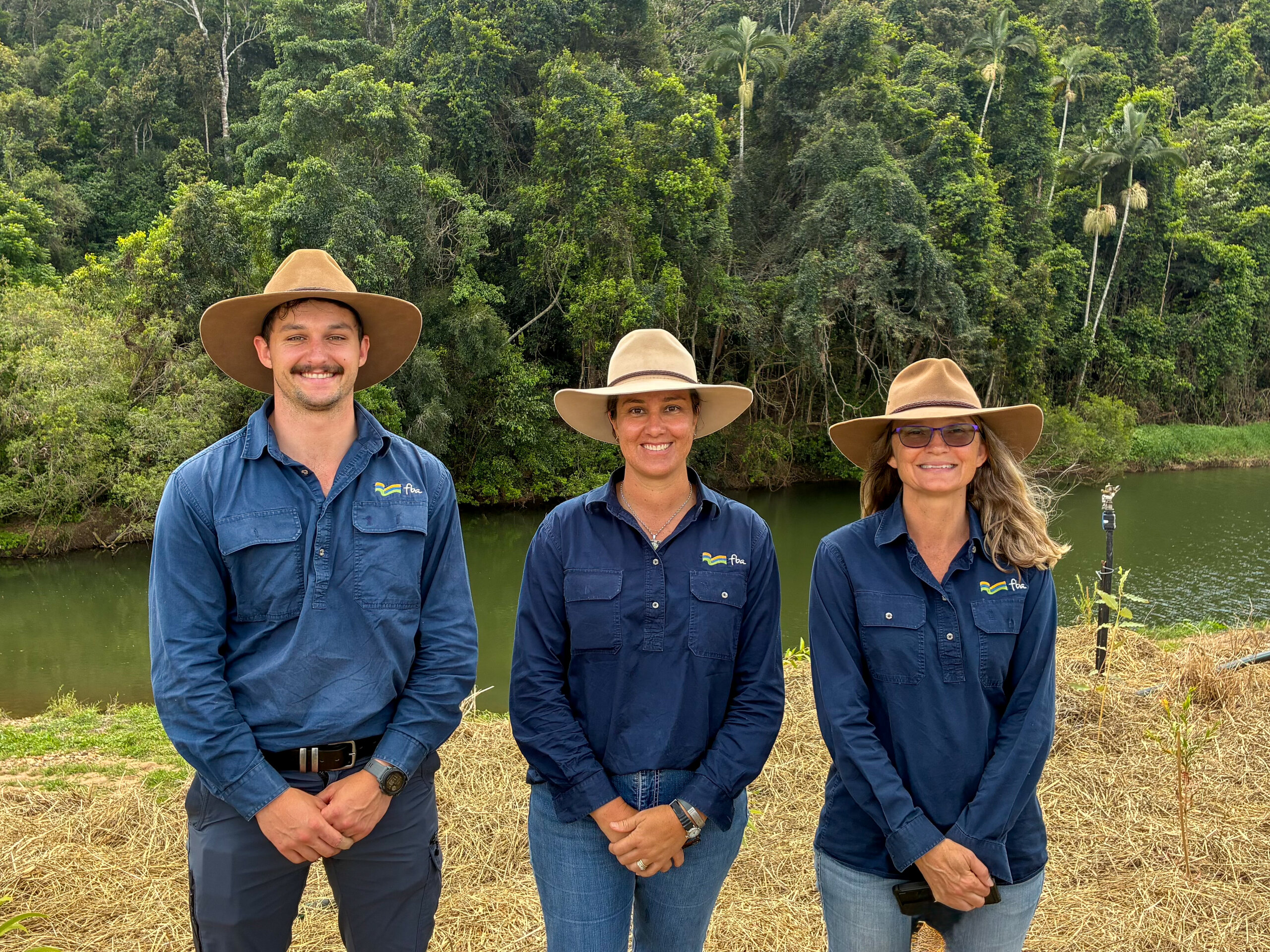
FBA Waterway Leader Braden Mitchell, and FBA Waterway Coordinators Amy Ahchay and Jodee Forbes.
FBA staff attended the 2026 Landscape Repair Forum in Mackay, joining delivery partners, researchers, Natural Resource Management (NRM) organisations, and government representatives from across the Great Barrier Reef catchments. The forum featured presentations, discussions, and field visits focused on erosion management, riparian restoration, and building resilient landscapes.
The forum provided an opportunity to share lessons from on-ground projects, strengthen relationships with key stakeholders, learn about emerging best practice, and showcase work being delivered across the Fitzroy region.
FBA Waterway Coordinator Amy Ahchay said insights gained through the forum will help inform future project design and delivery, supporting improved water quality, sediment reduction, and landscape resilience across the Fitzroy region.
Building Team Capability
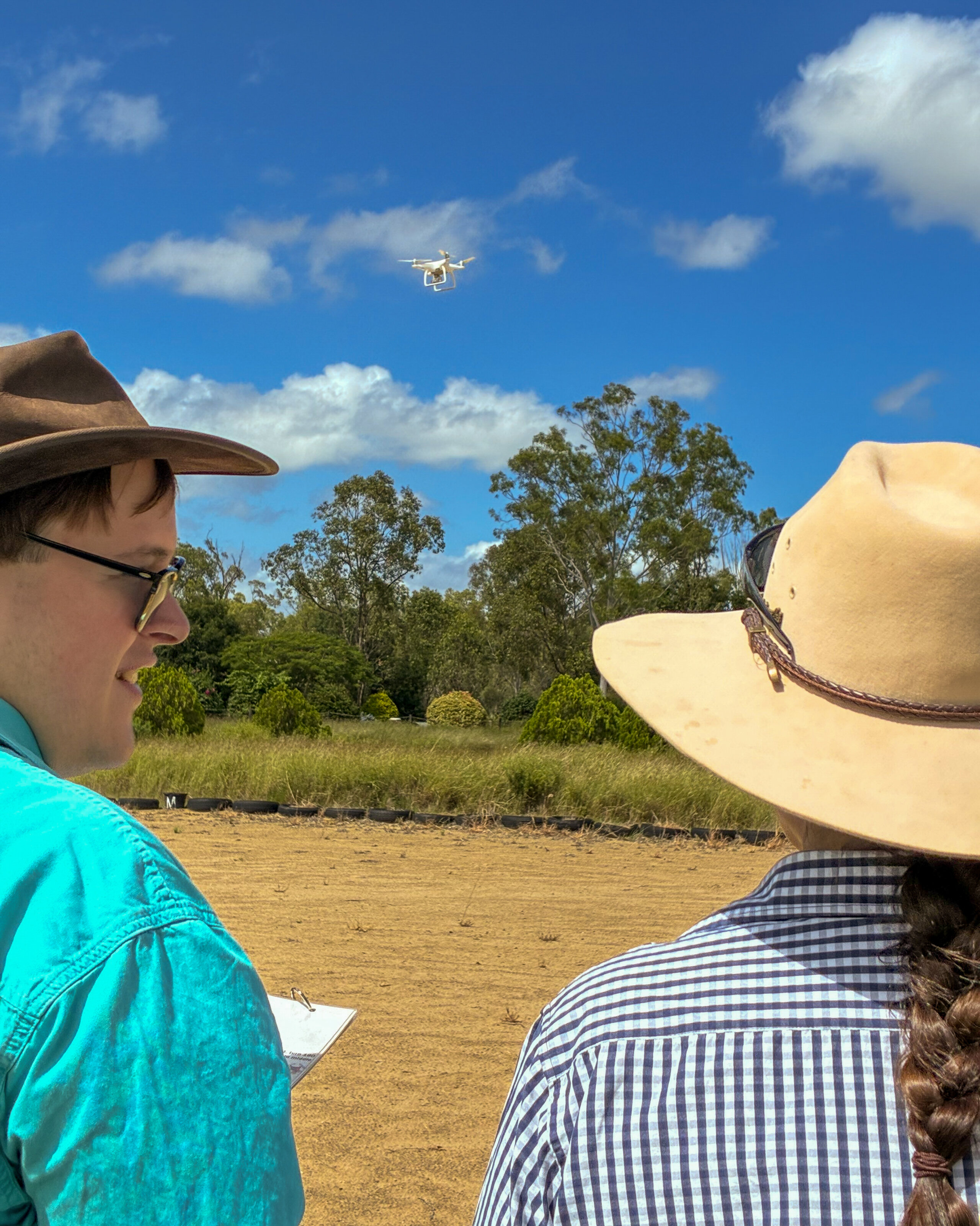
FBA staff completing their Remote Pilot Licence (RePL).
FBA staff continued to build their skills through a range of training opportunities to strengthen project delivery across the Fitzroy region. FBA’s Waterways Team completed Land Condition Assessment Tool (LCAT), Vegetation Condition Assessment Tool (VegCAT), Ecological Monitoring System Australia (EMSA), White Card and Remote Pilot Licence (RePL) training, building capability in land condition assessment, vegetation monitoring, site safety, and drone operations.
Following completion of their RePL training, several team members successfully completed the practical flight assessments required for accreditation. This strengthened FBA’s ability to safely capture aerial imagery and site data to support monitoring, reporting, and project design, particularly in areas that are difficult to access on foot.
This new capability will enhance on-ground project delivery by improving site assessments, supporting project planning, and helping the team track restoration progress over time. It also provides a safer and more efficient way to collect the information needed to guide future landscape repair works.
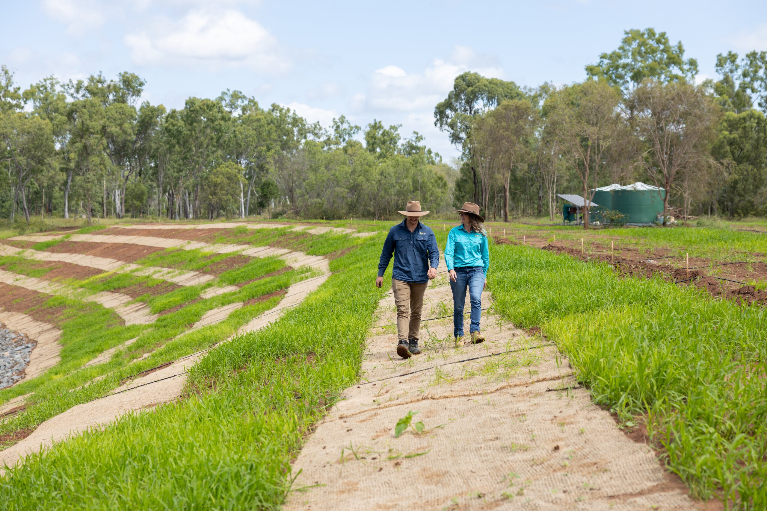
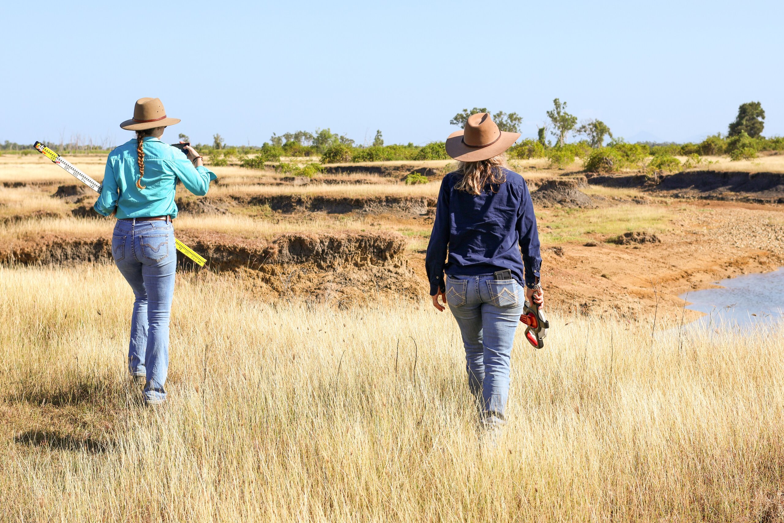
Assessing Potential Erosion Repair Sites
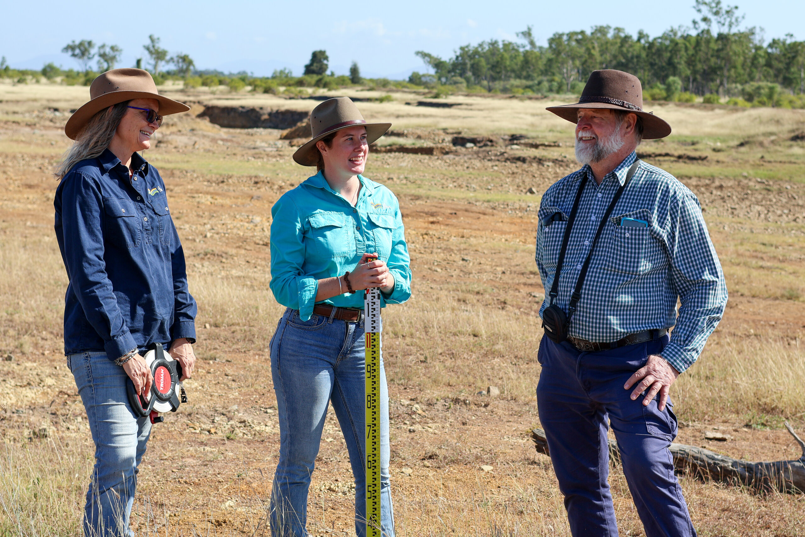
FBA Waterway Coordinator Jodee Forbes, FBA Project Officer Mia Bliss and Soil Conservation Adviser John Day.
FBA staff, alongside Soil Conservation Adviser John Day, visited six potential project sites across the Fitzroy region as part of ongoing project development under the Landscape Repair Program.
John assists FBA’s Waterways Team to assess erosion issues and identify the landscape features contributing to them, including catchment size, land slope, vegetation condition, and ground cover. By working alongside John in the field, the team is able to better understand erosion processes and identify suitable rehabilitation options.
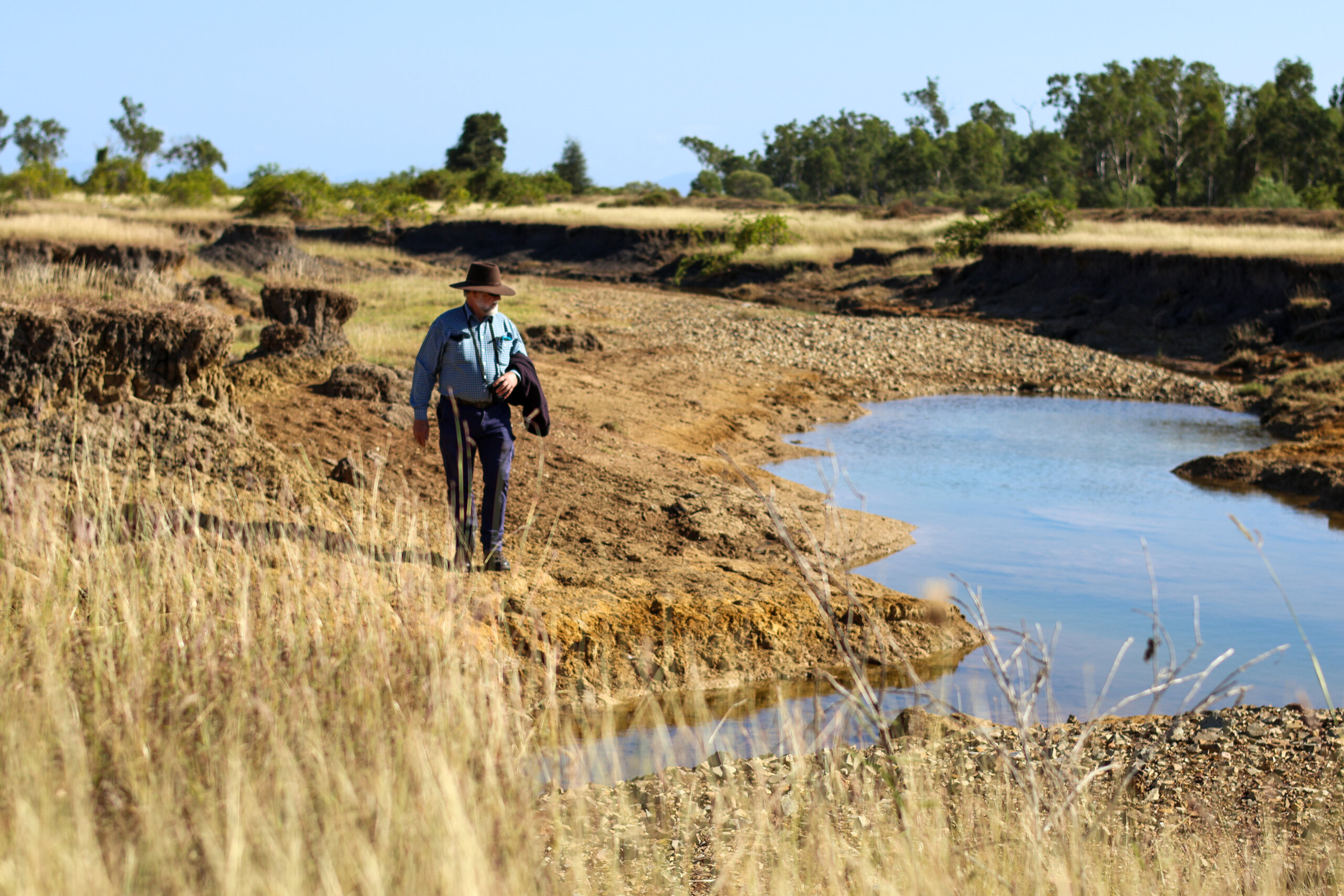
John Day inspects a property with multiple erosion sites in central Queensland.
One property included multiple erosion sites that required different remediation approaches. Historical banks at one location had previously been removed after being damaged by overtopping flows and wave action, which may have contributed to accelerated gully erosion. Due to the complexity of the site and potential fish passage considerations, further investigations by a geomorphologist will be engaged to support future design work.
Information gathered during the site visits will now inform the next stage of assessment, including site prioritisation and the development of potential designs.
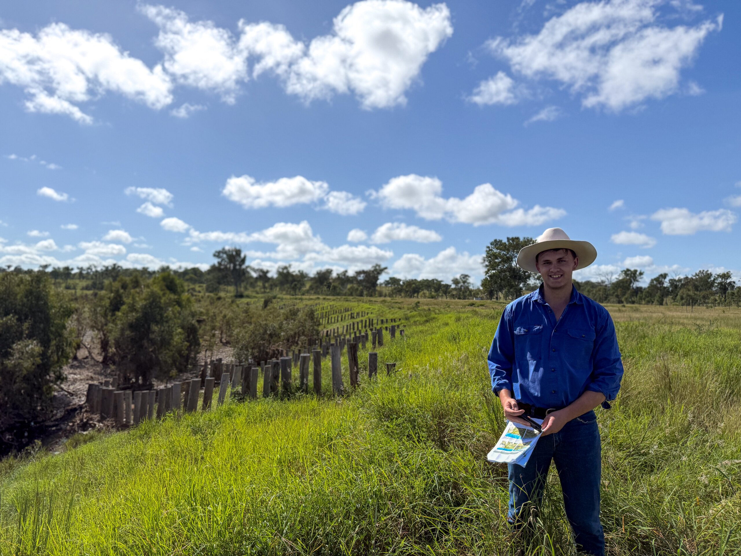
Identifying New Sites for Landscape Repair
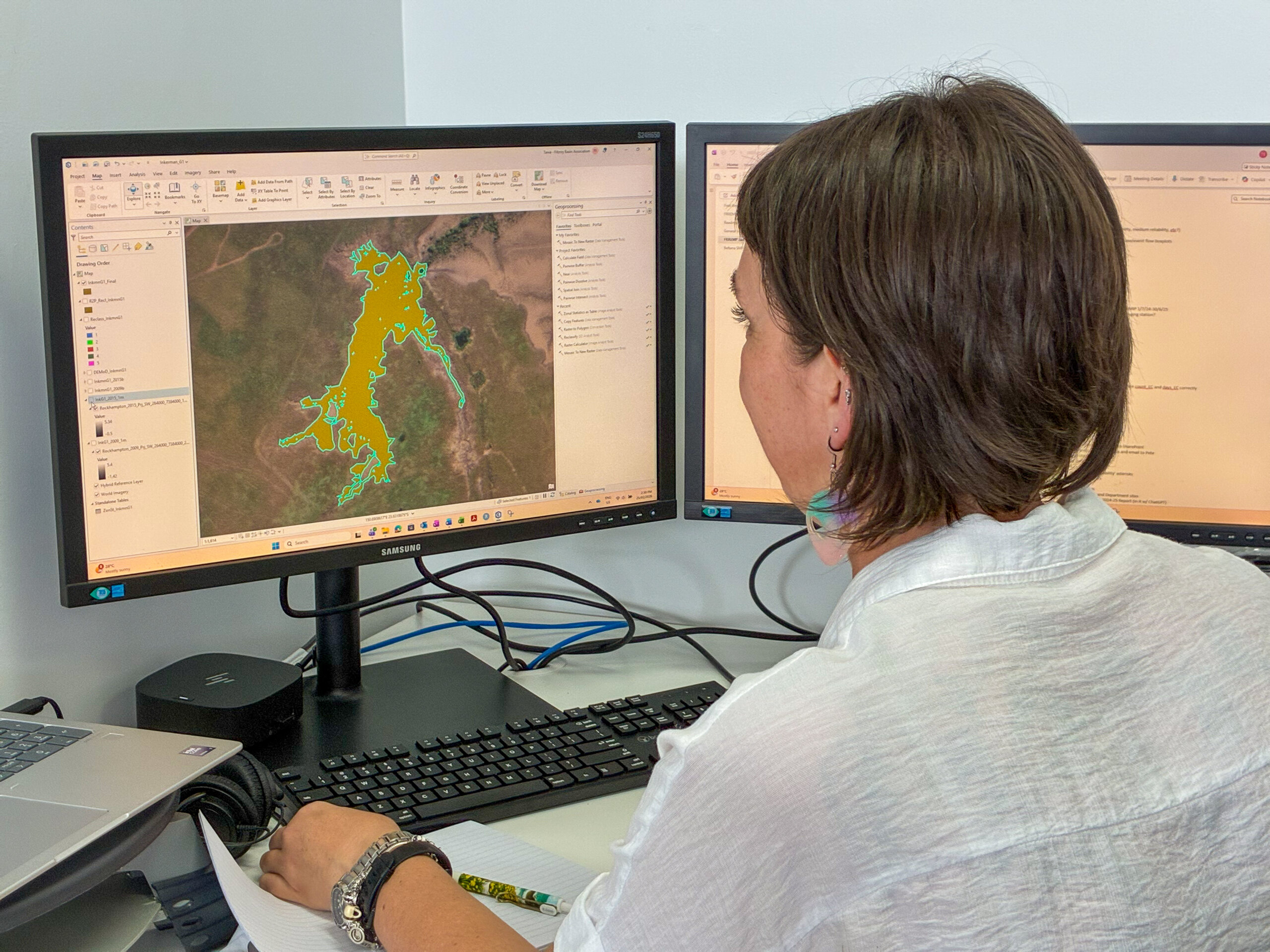
FBA Project Officer Tania Skewis.
While wet weather limited access to some project sites, FBA’s Waterways Team continued identifying and assessing new opportunities for erosion repair through desktop assessments across the Fitzroy region.
Using a combination of scientific modelling, spatial technologies, and on-ground expertise, the team analysed erosion risks, sediment movement, landscape condition, and waterway connectivity to identify areas with the greatest potential to reduce sediment runoff. Tools including Light Detection and Ranging (LiDAR) mapping, Commonwealth Scientific and Industrial Research Organisation (CSIRO) erosion modelling, and sediment export maps helped identify and prioritise sites for further investigation and potential restoration works.
The team also reviewed spatial data, contacted land managers, and planned future site visits to further investigate potential project locations. Several promising streambank and gully remediation sites were identified and added to the assessment pipeline, including properties scheduled for upcoming visits with soil conservation specialists.
These visits will provide detailed technical advice to help ensure proposed works are practical, cost-effective, and tailored to site conditions.
Using CSIRO Mapping to Better Target Erosion Repair
FBA has worked with Australia’s national science agency, the Commonwealth Scientific and Industrial Research Organisation (CSIRO), to develop new Light Detection and Ranging (LiDAR) mapping that has helped improve understanding of where erosion is occurring across the Fitzroy region.
LiDAR mapping uses laser technology to create highly detailed maps of the land surface.
By combining CSIRO modelling with FBA’s existing maps of gullies, waterways, and erosion hotspots, the team identified areas where sediment was most likely to move into waterways and eventually reach the coast. This information was especially important in parts of the region where detailed mapping, such as LiDAR, was limited or out of date.
This new data will significantly improve the accuracy of FBA’s modelling, allowing the team to spend more time on gully searching, future site visits, detailed surveys, and rehabilitation. This approach helps target investment where erosion repair could deliver the greatest long-term benefits for waterways, land managers, and the Great Barrier Reef.