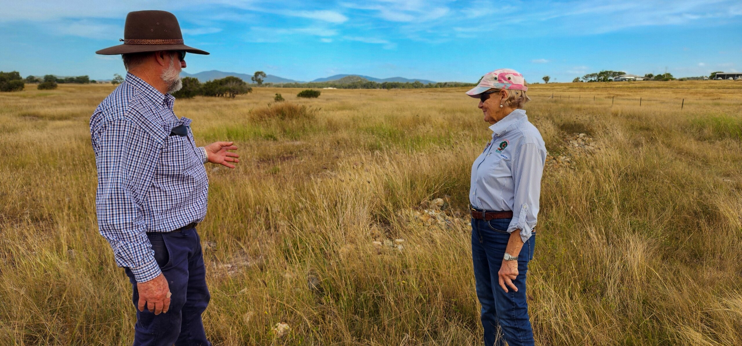
Effective land management requires collaboration and coordination among its various land management stakeholders, this can include but is not limited to government agencies, private landowners, indigenous communities, conservation organisations, and local communities.
Land management is broken into land management planning, land management administration, and the execution of land management strategies.
Successful land management allows individuals and organisations to make informed decisions regarding the use of land for purposes such as agriculture, conservation, urban development, or recreation. All while considering the long-term impact on the ecosystem and local communities.
Key Land Management Techniques:
Vegetation and Weed Management
Vegetation and Weed Management is a core part of strong land management. When you manage native vegetation well and control invasive weeds early, you protect soil health, improve pasture performance, support water quality, and strengthen the long term value of your land. A clear vegetation and weed management plan helps you reduce weed spread, maintain productive groundcover, and support healthier landscapes across rural, agricultural, and grazing properties.
Effective vegetation and weed management starts with knowing what is growing on your land and how each species affects production and land condition. Native vegetation plays an important role in erosion control, habitat protection, shade, shelter, and landscape resilience. Weeds compete for moisture, nutrients, light, and space. Left unmanaged, they reduce pasture quality, limit carrying capacity, increase control costs, and place pressure on the wider environment. Early action and regular monitoring give you stronger results and lower long-term costs.
A practical vegetation and weed management strategy often includes weed identification, targeted control methods, pasture improvement, revegetation, and ongoing site monitoring. The right approach depends on your property goals, soil type, climate, existing vegetation, and the level of weed pressure. For many landholders, better vegetation and weed management support cleaner paddocks, stronger pasture growth, improved biodiversity, and more stable groundcover through changing seasons.
If you want better land management outcomes, vegetation and weed management should sit high on your priority list. It helps you protect productive land, improve farm performance, and build healthier, more resilient landscapes over time.
How Can a Land Management Plan Help You
A land management plan helps you make clearer decisions about your property, business, and long-term goals. For many landholders, success depends on balancing productivity, profitability, and sustainability. A clear plan gives you a practical way to manage those priorities and track progress over time.
A strong land management plan helps you look at the bigger picture across your property. It supports better decision making, highlights areas for improvement, and gives you a framework to measure the results of the changes you put in place. In the Fitzroy Region, a land management plan also helps you identify practices that support healthier landscapes, stronger production outcomes, and better long-term resilience.
Key Components of a Land Management Plan
Environmental Protection
Environmental protection focuses on reducing risks to land condition and natural assets. This can include invasive weed management, feral animal control, and planned burning where suitable. These actions help protect vegetation, pasture, biodiversity, and the overall health of the landscape.
Planning and Mapping
Planning and mapping help you understand your property in more detail and make more informed decisions. Tools such as earth observation, remote sensing, and satellite technology are used to monitor land clearing, track changes over time, and assess overall land condition.
Landholder Obligations
Landholders have legal responsibilities to take reasonable steps to avoid harm to the natural environment and cultural heritage. A land management plan helps you understand these obligations and put practical measures in place to manage your property responsibly.
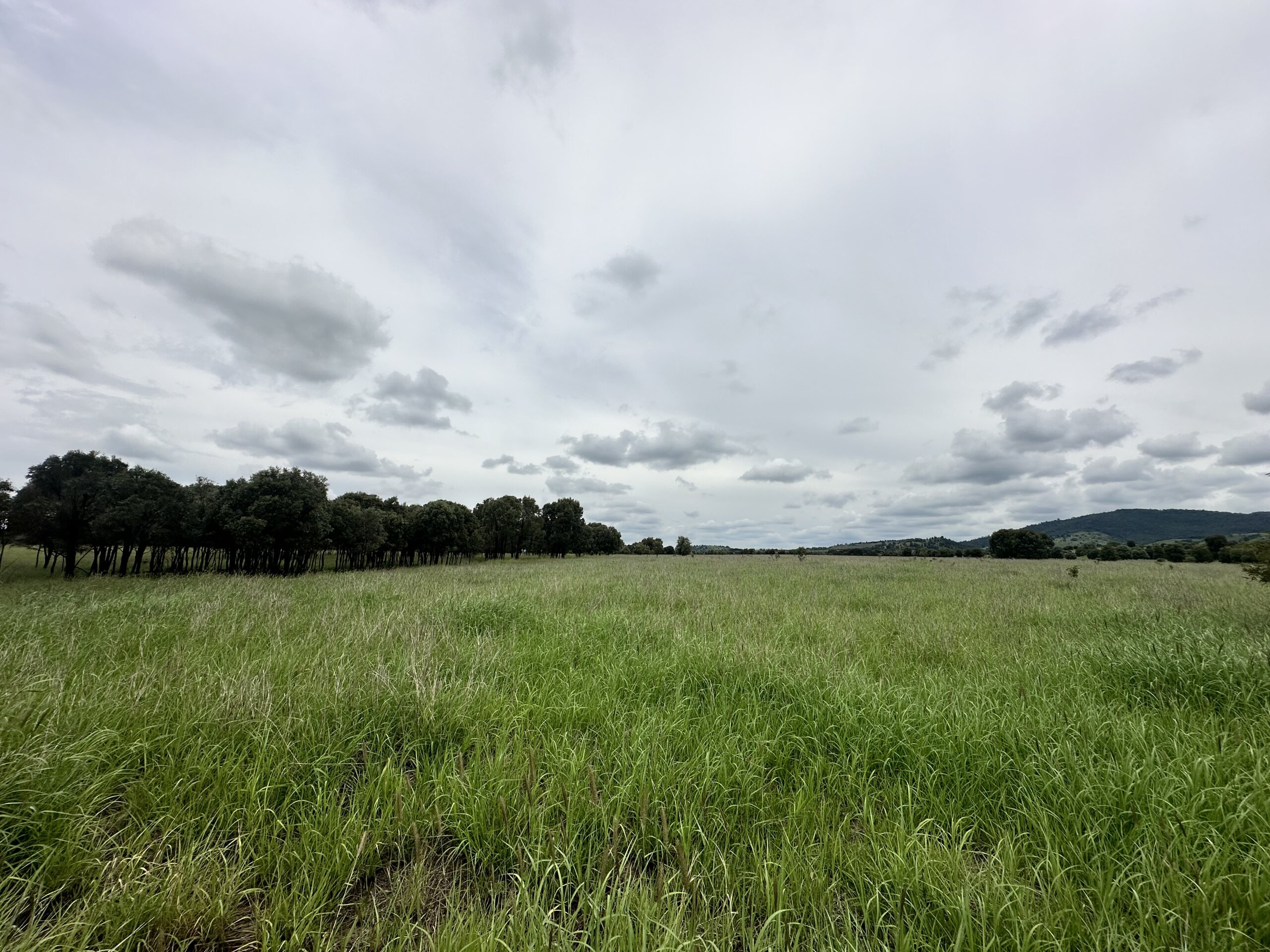
Grazing Land Management
Grazing land management focuses on pasture growth, carrying capacity, and long-term pasture condition. A key goal is to maintain strong populations of 3P grasses, permanent, perennial, and palatable species, which support productive grazing systems and healthier land conditions.
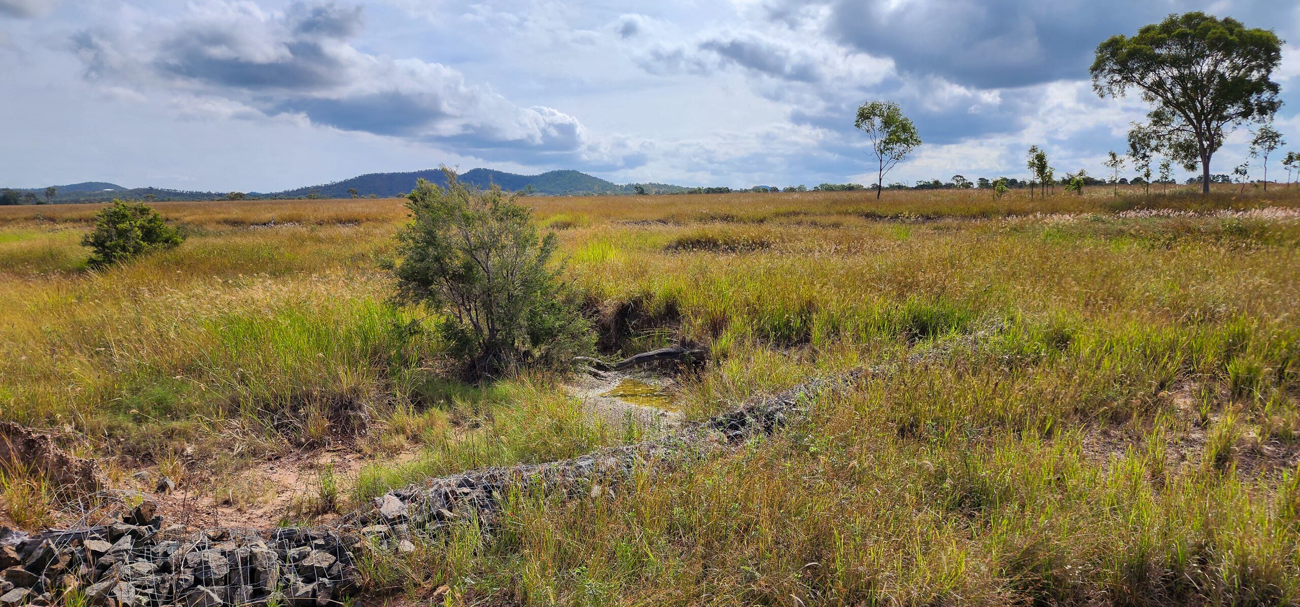
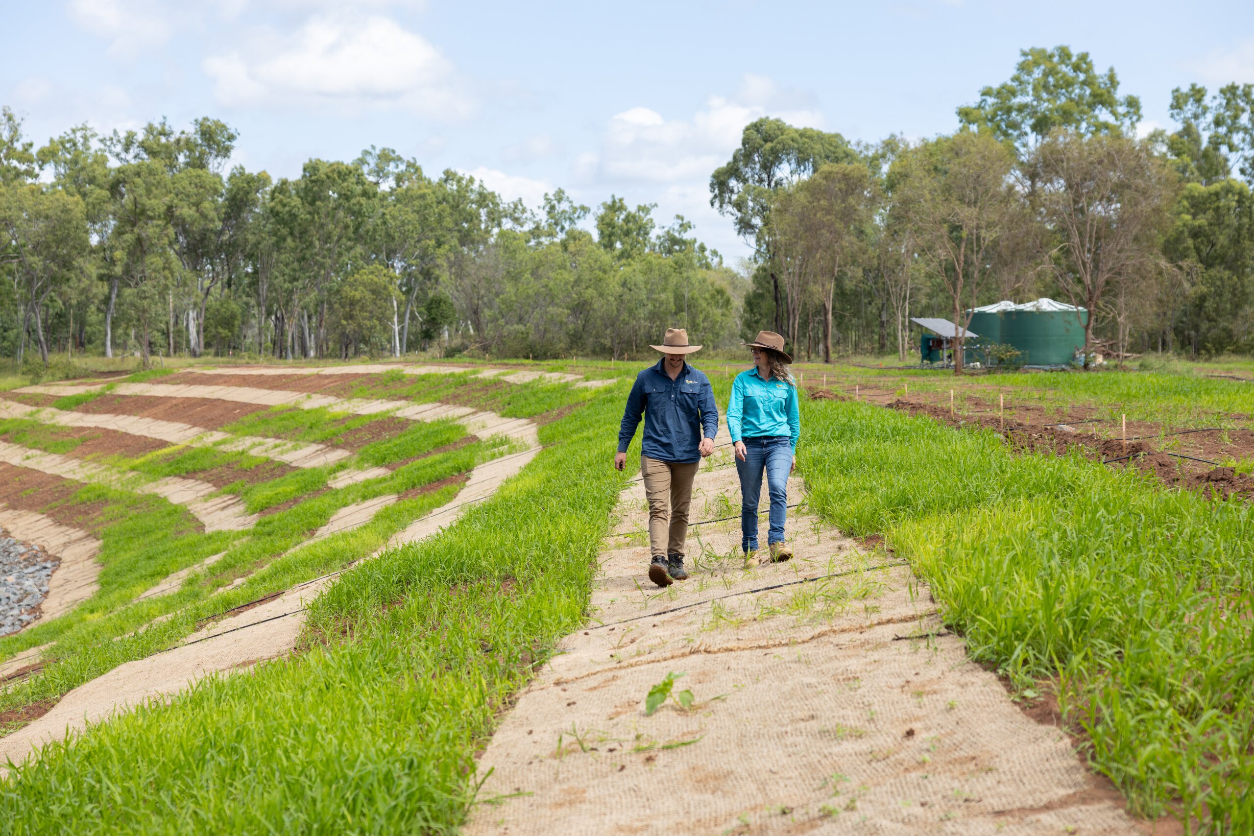
Gully in 2025 four years after completed works
Land Management Goal Planning
Set short, medium and long-term business goals as a team.
Clearly identifying and documenting short, medium, and long-term business goals helps ensure alignment across the organisation and confirms that all stakeholders are working toward shared priorities. This process takes time to establish and should not be rushed. For goal setting to be effective, goals must be SMART: specific, measurable, achievable, relevant, and time-bound.
S – SPECIFIC and clear, otherwise you won’t be able to focus your efforts or feel truly motivated.
M – MEASURABLE, so you can track your progress and stay motivated.
A – ATTAINABLE and realistic. Goals should stretch your abilities but remain possible.
R – RELEVANT and worthwhile and something that will impact your business.
T – TIME BOUND, so you have a deadline or target date to work towards.
When breaking down goals its best to use the following time frames. Short term (1-2 years), Medium term (3 – 5 years), and Long term (6-10 years)
How does FBA help landholders?
Our team of passionate specialists work closely with land managers across central Queensland to provide practical, on-ground support, including:
On-ground support – technical advice and planning for infrastructure mapping, pest and weed management, erosion control and prevention, and improving ground cover and soil health.
Training and workshops – skill-building in areas such as weather forecasting and climate outlooks, improving biodiversity, and effective record-keeping and data collection.
Connections – linking you with services, training, networks and funding opportunities.
Tools and resources – providing guides, decision-making tools, and shared knowledge to support your management goals.
How to develop a record-keeping monitoring site system?
Monitoring sites are a great way of tracking progress and changes over time. Without documented records such as photo monitoring sites, it is very difficult to recall what a particular paddock, gully or land in poor condition looked like the year before. There are a few key guidelines when it comes to setting up photo monitoring sites.
Selecting a monitoring site
Inspect the whole paddock: get a feel for the area, the characteristics of the representative land type and the areas of concern
Plot sites randomly but more than…
300m away from stockyards, watering points, homesteads, drains, sheds, gas/oil wells, lick points, and water bodies
100m away from a gate
25m away from a fence, road, track, powerline, railway, pipeline, closed track, road or old fence line
Mark each photo site with a star picket in the paddock and on your property map or with a GPS point
Name each photo monitoring site with an identifiable name and note the land type
Taking monitoring photos
Take a photo every time you do a land type condition assessment.
When possible, choose a clear day with the sun behind you (between 9 am and 3 pm) and clean your camera lens before you start taking photos
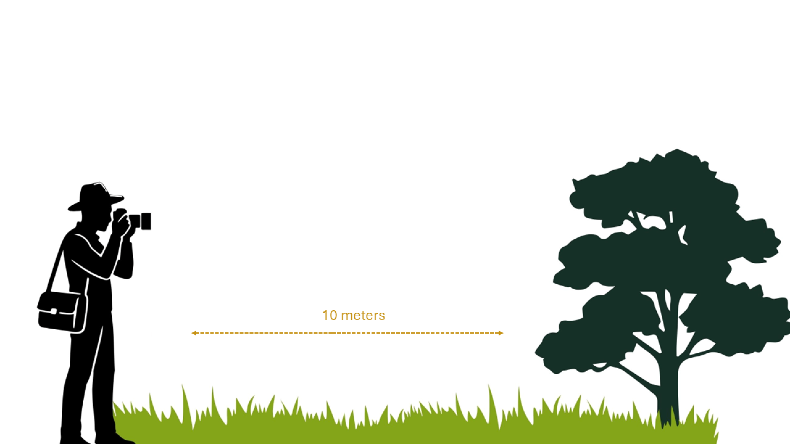
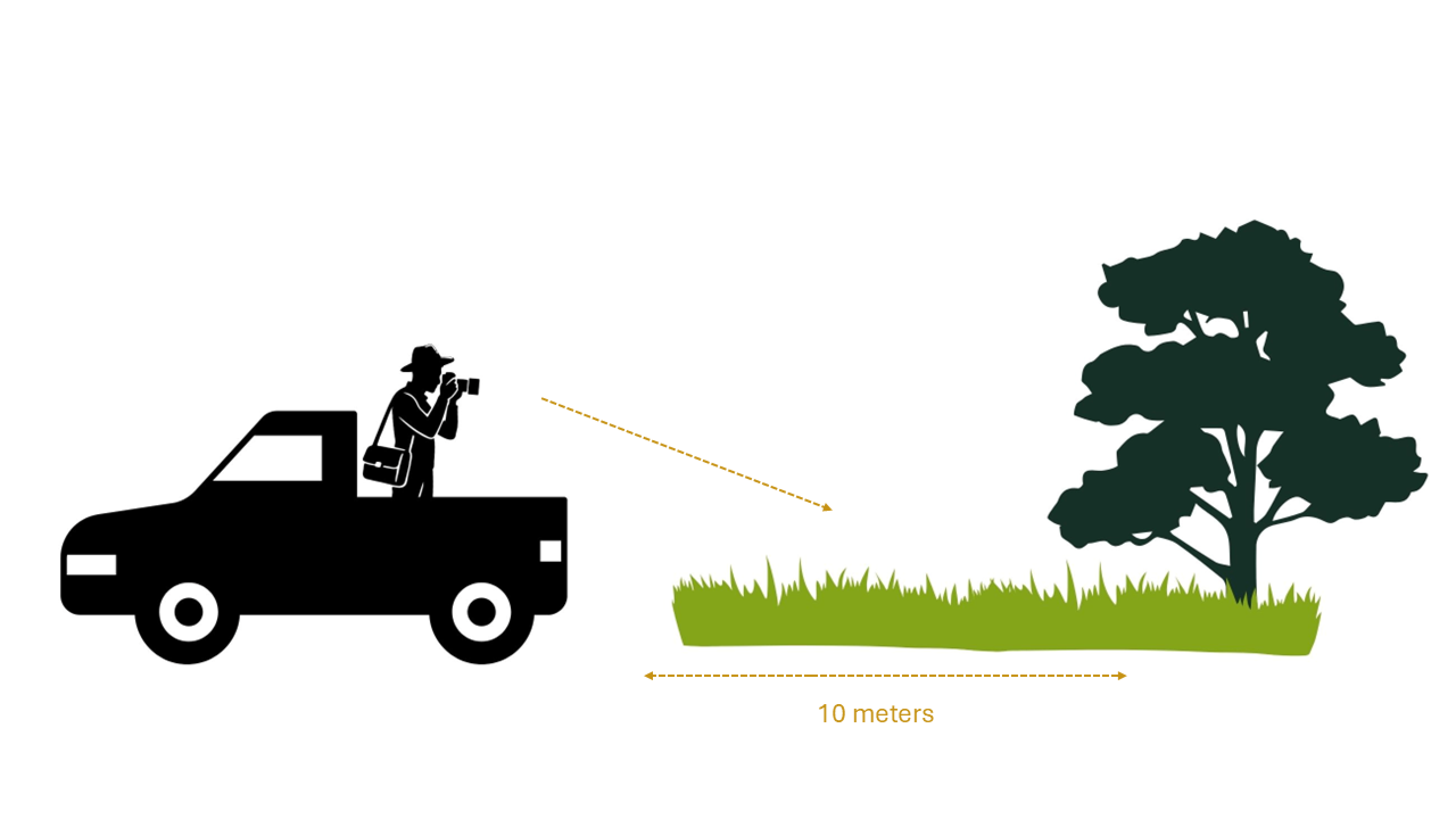
At each photo monitoring site take two photos – a landscape photo and a tray back photo.
Landscape photos capture the general condition of the site by picking up changes in tree and shrub populations. Tips: keep your camera at eye level and shoot straight.
When taking tray-back photos, angle the camera downwards to capture soil, pasture, and forage conditions.
Tip: Park your ute in the same position each time and photograph the same patch of ground (approximately 10 metres away) to ensure consistency between images.
Create an accurate property map and make it easily accessible
A comprehensive property map is a vital tool when planning and managing your grazing. A property map can come in many different forms, such as a hand-drawn, paper version, a static electronic version saved on your computer or printed out, or an online map created using a specific mapping program that can be easily updated. Whatever type of property map you choose to use, there are a few key elements your map needs to have to be a useful planning tool. Learn more about property mapping.
Elements to Include on Your Property Map
Property boundary – also known as cadastre, lot on plan or land parcel
Paddocks/fences – including accurate paddock sizes
Water points (i.e., where cattle drink) – TIP: it is good to identify between different types of watering points (e.g., dam, trough, creek, river)
Water sources – bore, tank, dam, river etc
Pipelines – TIP: it is good to identify different size pipelines and where taps, pumps and telemetry are located
Infrastructure – such as cattle yards, sheds, houses etc.
Roads/tracks/fire breaks
Other elements that may be useful to include on your property map:
Walk-to-water circles
Weed infestations
Emergency assembly points
Chemical storage locations
Problem areas e.g., gullies, scalding, erosion
Useful Resources
Be aware of the Queensland Reef Protection Regulations
Why are the Reef Protection Regulations required?
The Reef protection regulations address land-based sources of water pollution flowing to the Great Barrier Reef. Over time, unsustainable grazing practices reduce pasture and ground cover, which increases the risk of valuable topsoil being lost when it rains. The regulations for grazing focus on retaining and improving ground cover and land condition to minimise soil loss and are assessed at 30th of September each calendar year.
What are the requirements for grazing?
There are four standard conditions that need to be met:
For land in good or fair condition (greater than 50% ground cover), continue to use measures to maintain the land in good or fair condition.
For land in poor condition (less than 50% ground cover), measures must be implemented to improve land condition towards achieving good or fair condition.
For land in degraded condition (less than 20% ground cover), measures must be implemented to improve land condition towards achieving good or fair condition OR preventing areas of degraded land condition from further degrading or expanding.
Keep records of property and person details, chemical and fertiliser products applied and measures implemented to improve land condition.
What can you do?
Where land is in poor or degraded condition, the following are examples of measures that may be used to improve land condition:
Adjusting grazing pressure/stocking rate to match land condition
A planned program of wet season spelling of land to improve land condition;
Managing preferential grazing, through actions such as:
Additional fencing,
Establishing additional/relocating watering points,
Strategic placement of licks;
Managing and reducing gullies and early signs of gullying;
Managing linear infrastructure to minimise erosion;
Establishing diversion banks;
Sowing pastures;
Managing weeds;
Any other measure that improves land condition or prevents areas of degraded land condition from further degrading or expanding.
Grazing land management
Grazing land management involves strategically managing livestock numbers, herd composition and paddock allocation to optimise pasture productivity while maintaining or improving land condition and biodiversity. Effective grazing management supports healthy soils, resilient pastures and sustainable beef production.
Healthy country underpins healthy cattle and a profitable, sustainable grazing business. Integrating climate-smart grazing practices—such as seasonal planning, pasture monitoring and adaptive stocking rates—also strengthens drought resilience and long-term farm performance.
Useful Resources
To start on your own Land Management plan in the Fitzroy Region Contact Us
Learn more about how Land Management in the Fitzroy Region can help you.
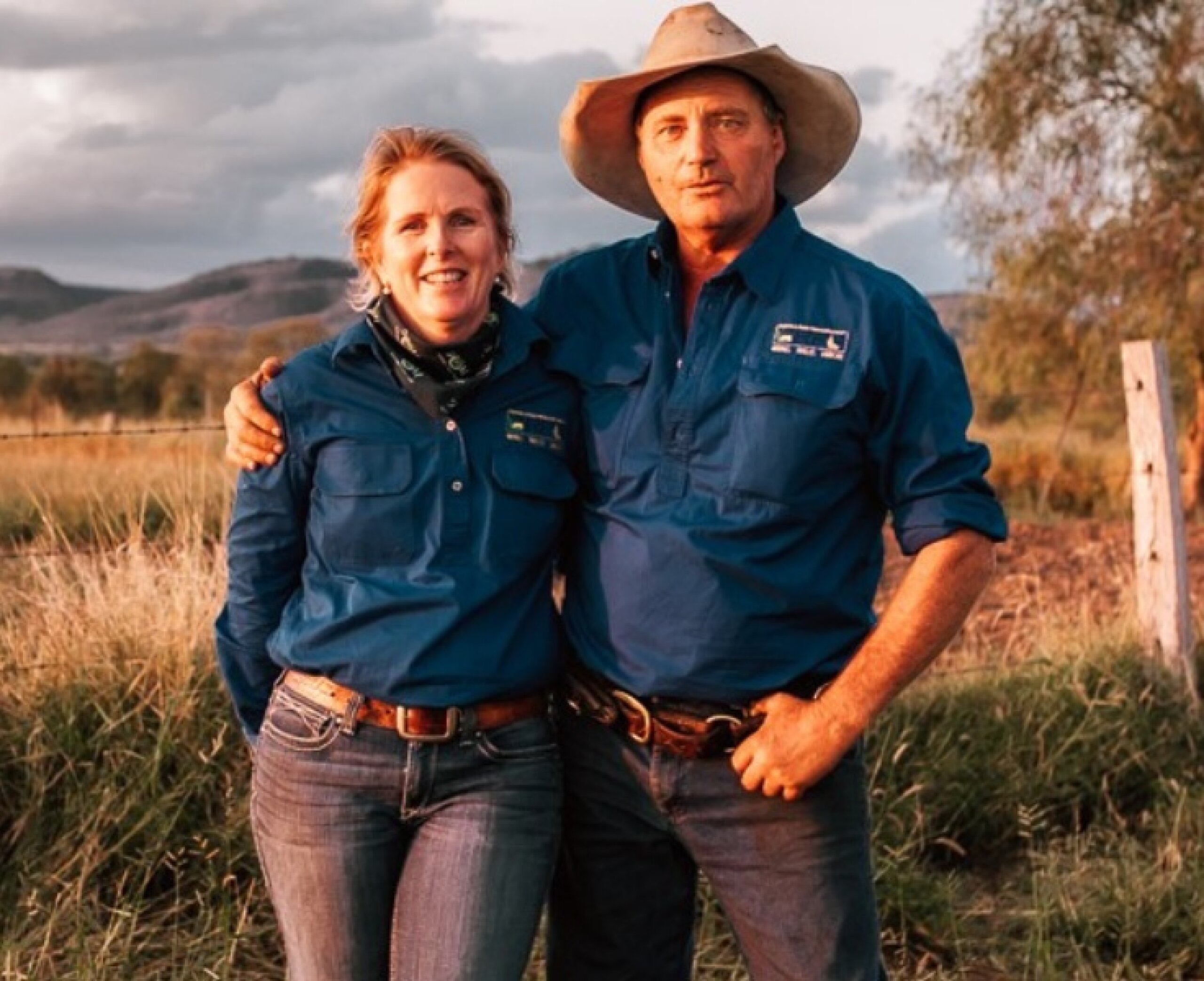
FBA has many resources that can help you get started on your own land management journey. Take a look at some of the landholders we have helped over the years.