Resources library - Land Managers
Land Managers Resources
Broader Brigalow Belt South Fire Management Guidelines
Broader Brigalow Belt South Fire Management Guidelines

Appropriate fire management practices to help land managers plan hazard reduction burning and undertake planned burns to improve production and conservation outcomes.
15/07/2019
How to make Stick Rake Lines (Contour Barriers)
How to make Stick Rake Lines (Contour Barriers)
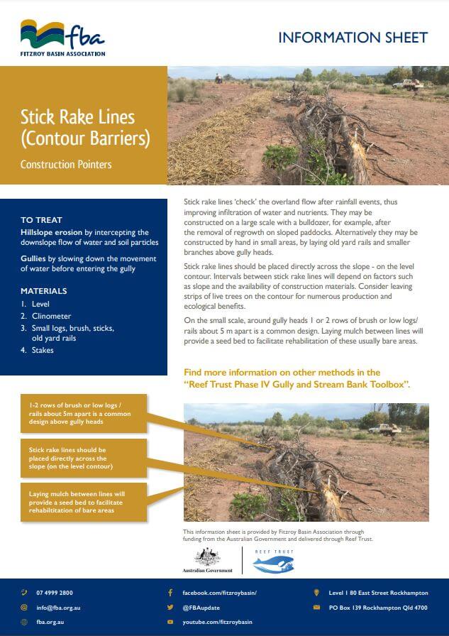
Treat hillslope erosion by intercepting the downslope flow of water and soil particles with Stick Rake Lines (aka Contour Barriers). Create your own Stick Rake Line with this handy construction pointer flyer.
11/07/2019
Porous check dams (leaky weir) educational resources
How to make Porous Check Dams
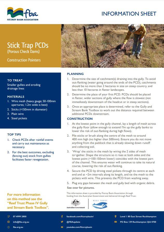
Arresting and reversing gully erosion requires resting the area and taking steps to rebuild and re-vegetate gullies. These resources explain simple and cost-efficient methods to help slow flow and start rebuilding gully floors through building Porous Check Dams (PCDs). PCDs are a low-cost and low-risk erosion control method recommended by CSIRO in their 'Gully Toolbox' kit.
11/07/2019
Free whoa-boys (check banks, cross banks or roll over banks) educational resources
How to make Whoa-boys
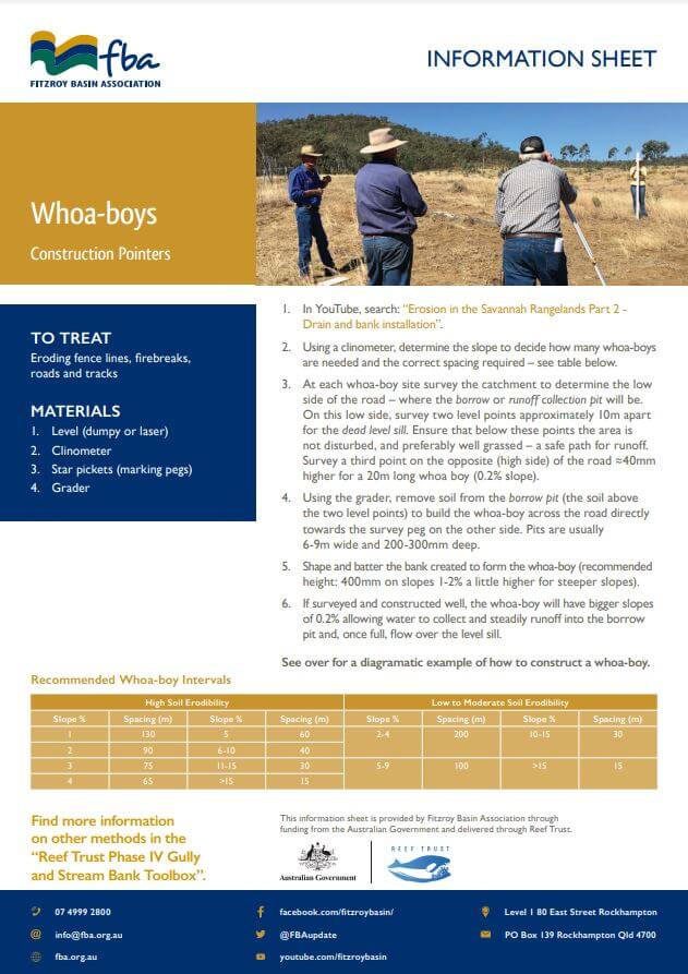
Whoa-boys (aka check banks, cross banks or roll over banks) are specially placed banks that divert water with the objective to decrease erosion and heal and hydrate the land. Learn how to make your own Whoa-boy with these resources.
11/07/2019
Rock chute case study
Raglan Station Gully Erosion Project
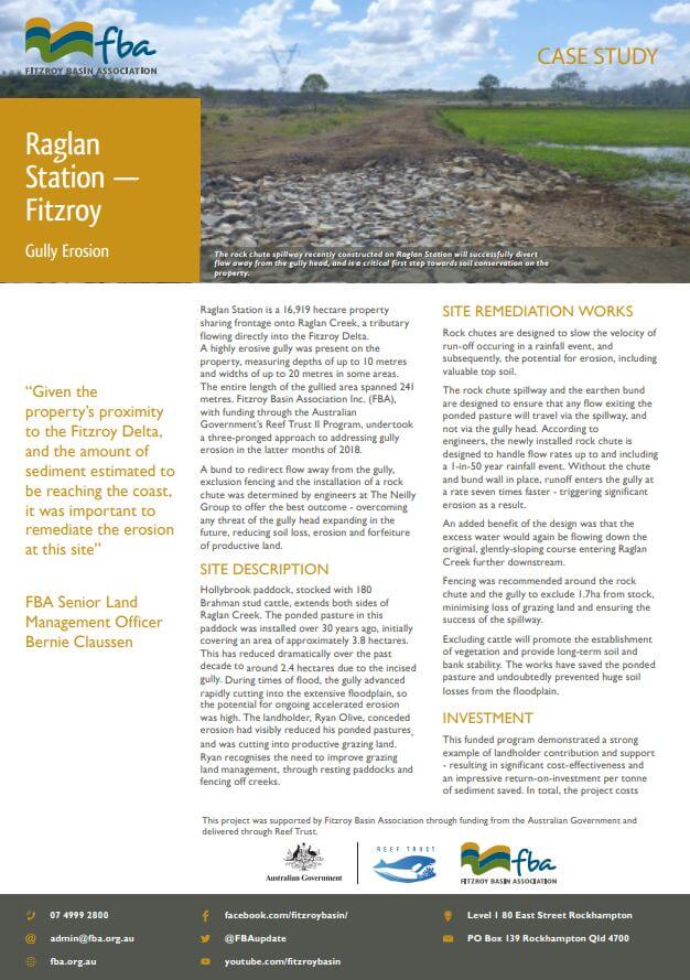
Raglan Station is a 16,919 hectare property sharing frontage onto Raglan Creek, a tributary flowing directly into the Fitzroy Delta. A highly erosive gully was present on the property, measuring depths of up to 10 metres and widths of up to 20 metres in some areas. The entire length of the gullied area spanned 241 metres. Fitzroy Basin Association Inc. (FBA), with funding through the Australian Government’s Reef Trust II Program, undertook a three-pronged approach to addressing gully erosion in the latter months of 2018.
03/07/2019
Gully Erosion Case Study
Raglan Station - Fitzroy

Raglan Station is a 16,919 hectare property sharing frontage onto Raglan Creek, a tributary flowing directly into the Fitzroy Delta. A highly erosive gully was present on the property, measuring depths of up to 10 metres and widths of up to 20 metres in some areas. The entire length of the gullied area spanned 241 metres. Fitzroy Basin Association Inc. (FBA), with funding through the Australian Government’s Reef Trust II Program, undertook a three-pronged approach to addressing
02/07/2019
Customised FBA support for Cardbeign
Rebuilding and re-vegetating damaged creeks in central Queensland
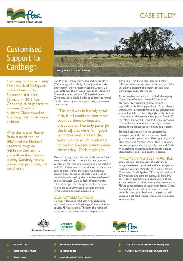
One site on the property was badly scoured with steep creek banks that were barren of woody vegetation that would normally assist to stabilise soil. This led to loss of diversity within the creek such as pools, rifles and steps. Additionally, cracking clay on the creek flats were in poor condition, indicated by the prevalence of weeds and wiregrasses. Due to lack of equity and a minimal budget, Cardbeign’s development has had to be carefully staged, utilising current infrastructure as much as possible.
02/07/2018
Broadmeadows case study
Land rehabilitation through water spreading banks
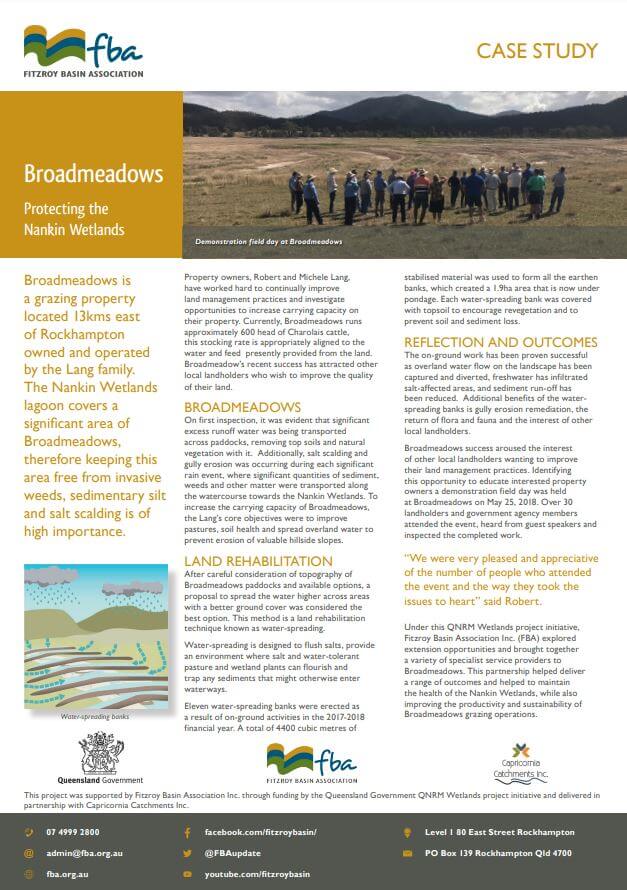
Broadmeadows is a grazing property located 13kms east of Rockhampton owned and operated by the Lang family. The Nankin Wetlands lagoon covers a significant area of Broadmeadows, therefore keeping this area free from invasive weeds, sedimentary silt and salt scalding is of high importance.
06/06/2018
CQ graziers talk about challenges facing the grazing industry
CQ graziers talk about challenges facing the grazing industry
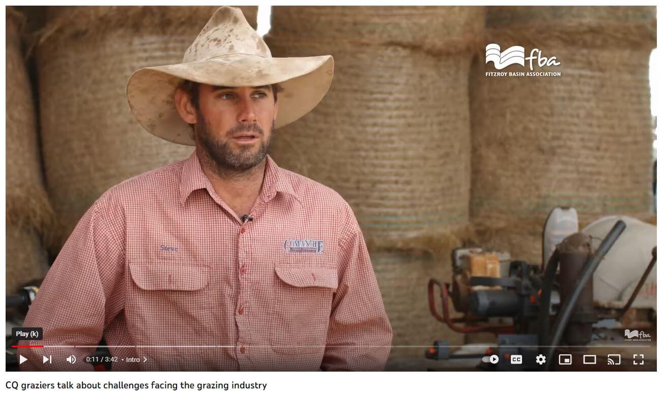
Life on the land is challenging, running a business can be hard. Building a sustainable, profitable enterprise is both. Eight of our Reef Trust 1 A-class grazing landholders talk about the various challenges they face running grazing properties in Central Queensland.
07/05/2018


