A Year of Extremes for Fitzroy Land Managers
Posted on December 9th, 2021
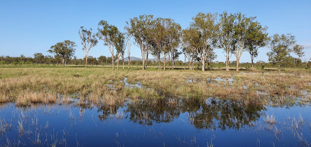
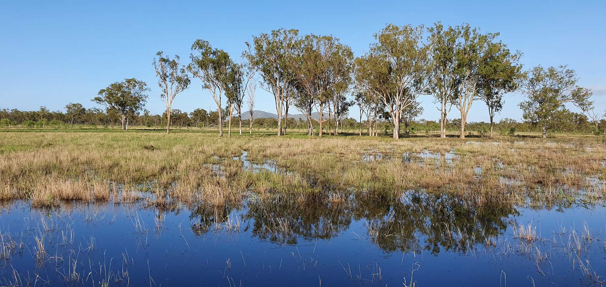
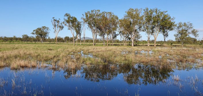
The Fitzroy region has one of the most variable climates in the world which was exemplified in 2021. After a prolonged dry period, drought-declared land received hail, and recently extremely high and widespread rainfall.
The Australian Government’s Bureau of Meteorology reported that throughout October and November central Queensland has received above average and very much above average rainfall. As illustrated in the table below, November 2021 rainfall across central Queensland has in some locations increased six-fold compared to the median. While this deluge is welcomed by land managers, the 2010/2011 wet season is a stark reminder of the devastating and ongoing impacts of too much.
November median rainfall compared to November 2021 (mm)
| Location | Nov Median | Nov 2021 |
| Rockhampton | 36 | 219.8 |
| Moranbah | 15 | 150.6 |
| Nebo | 19 | 150.6 |
| St Lawrence | 31 | 138 |
| Clermont | 24 | 226.4 |
| Middlemount | 28 | 150.6 |
| Emerald | 23 | 212.2 |
| Blackwater | 38 | 159.6 |
| Duaringa | 39 | 159.6 |
| Stanwell | 37 | 148.1 |
| Springsure | 36 | 167.2 |
| Rolleston | 33 | 197.2 |
| Biloela | 49 | 133.7 |
| Calliope | 50 | 297.4* |
| Theodore | 53 | 205* |
| Taroom | 47 | 263.6 |
| Injune | 40 | 263* |
| Wandoan | 46 | 164.2 |
Last month, Theodore, Calliope and Injune received record-breaking rain. In recent weeks, a La Niña event was officially declared meaning above-average rainfall is forecasted for summer, elevating the risk of flood.
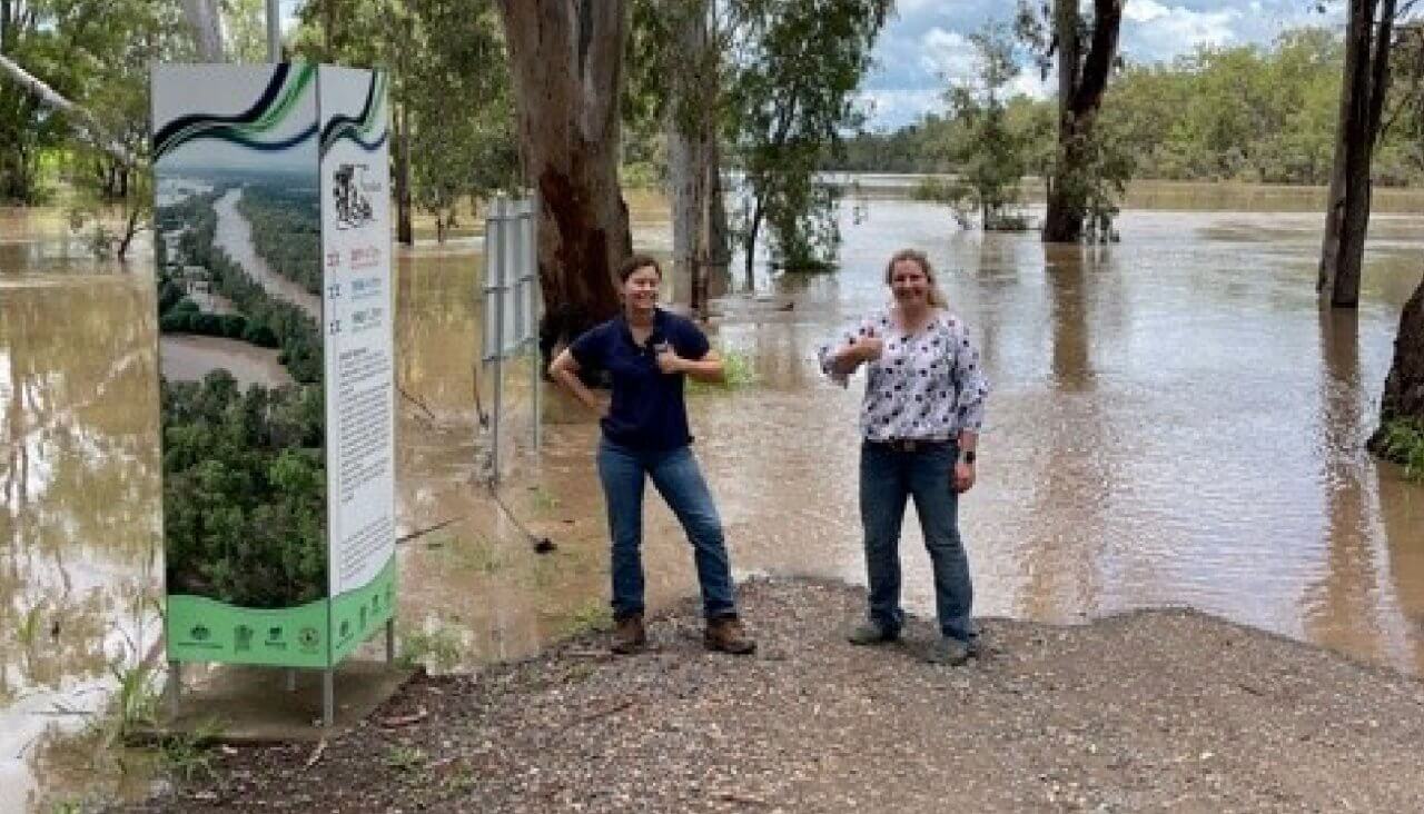
Theodore is situated at the junction of the Dawson River and Castle Creek. In the 2010/2011 floods, the Dawson River peaked at 14.7 metres at the Theodore weir, and the town of Theodore flooded, leading to a full-scale evacuation. Recent rain saw the Dawson River peak at 12.2 metres which put some cotton and lucerne crops underwater and threatened businesses and houses.
While the people of the Dawson catchment do all they can to prepare for the rising water and mitigate losses, there is nothing that can be done to save crops, buildings and houses. The floods from 11 years ago are still fresh in the minds of many people, and the ongoing effects of potential flood losses could be seen for years to come in the region’s economic response, loss of infrastructure, and declining land condition and waterway health due to wash of sediment, chemical and nutrients into the creeks and rivers.
In a region of extremes, it is important that all land managers in the Fitzroy region know that FBA is committed to supporting them. From helping land managers access recovery funding for affected land to preventative on-ground education and advice FBA works for the central Queensland community to create a sustainable, productive and profitable region.
Currently, many relief and recovery programs under the Disaster Recovery Funding Arrangements (DRFA) for individuals, not-for-profit organisations, small businesses, and primary producers are available. To learn more about these programs and if you are eligible get in contact with an FBA Land Management Officer.
To help land managers prepare for variable weather conditions, FBA provides weather and climate forecasting training, drought preparedness education, on-ground property management plans and much more.
Check out our calendar to see upcoming educational events.
Contact Dan Rea to learn more about weather and climate forecasting or Vicki Horstman to organise a property visit.
Dan Rea
Partnership Coordinator and Climate Mate (Fitzroy)
(07) 4999 2812 | 0448 439 117
Daniel.Rea@fba.org.au
Vicki Horstman
Ag Services Coordinator
(07) 4999 2842 | 0419 160 537
Vicki.Horstman@fba.org.au


